Public transit is a great and sustainable way to get around, as long as you know where you’re going. Mapnificent is a new Web app that lets users find out the places that they can go using public transit.
Mapnificent is based on Google Maps and is pretty simple to use. Either drag the marker onto the map or punch in an address. This could either be your home or workplace address, or anywhere else you want to go. Then drag a slider to a period of time you want the local public transportation to reach a certain destination in, such as half an hour. A portion of the map will then light up, showing all the places you can go matching your criteria. Another neat feature is a heat map showing how fast you can reach other destinations from your starting point. This would be a great tool for those who are both apartment-and-job hunting.
You can also search on Google for places you want to go in this area. If you want to find coffee shops, just search for “coffee” and you’ll see a bunch of markers pop up, but only the ones in red are reachable within the time you specified. If you’re meeting a friend, you can drag out another marker and see where you both can go within a certain time frame and also perform searches. So the next time your friend living in the same city wants to meet at a coffee shop, you can see which ones you both can get to easily.
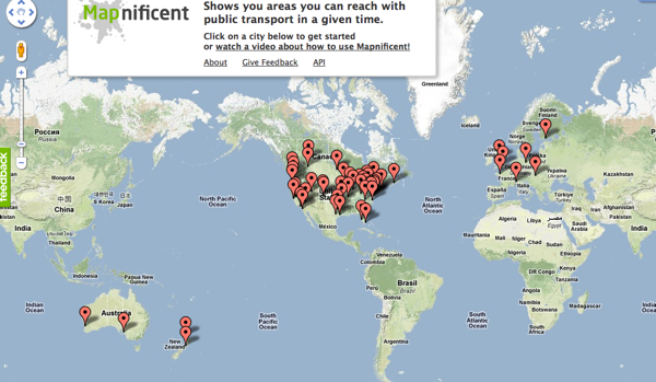
Mapnificent, still in beta, is available with a handful of U.S. and international cities. It’s a welcome addition to other mapping services, which seem to be focused on cars. With gas prices rising and people becoming more concerned about climate change and wanting to lessen their impact on the environment, Mapnificent looks like a good tool for people who want to get around in a green and sustainable way.
You might also be interested in The Very First Interactive LED Map , the Floating Lighted Globe, and Google Map pin coasters.


