Using its HiRISE telescope, Observation satellite Mars Reconnaissance Orbiter has been charting Mars’s terrain since 2006. This has resulted in some stunning images and pictures that reveal the beauty of the nearest planet to earth.
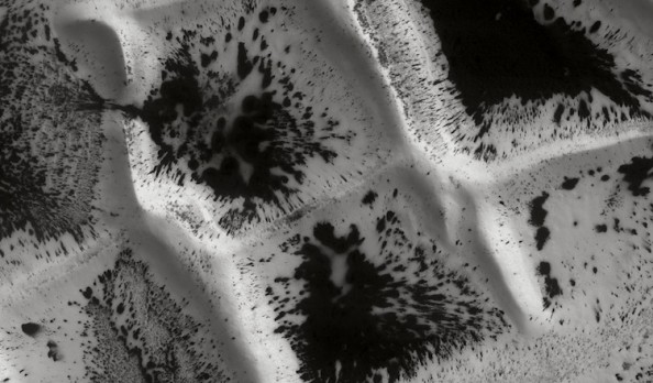
Inca City
Known as Inca city due to its rectangular shapes, these terrains are located on the Southern pole of Mars. In the spring, defrosting creates dark patches that grow with the rise of the temprature.
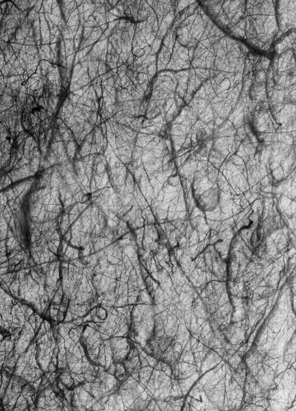
Sand Whirlwinds
Mars is savaged by powerful sand whirlwinds sometimes cover huge portions of the planet, but they don’t seem to be following any specific pattern.
Awesome Crater
Strata lining this crater are composed of clay minerals formed by the transformation of liquid water from primary minerals which is a testament to the water that once covered the planet.
Strata Factures
These fractures resulted from strong, seasonal thermal variations that can reach up to 100 degrees Celsius.
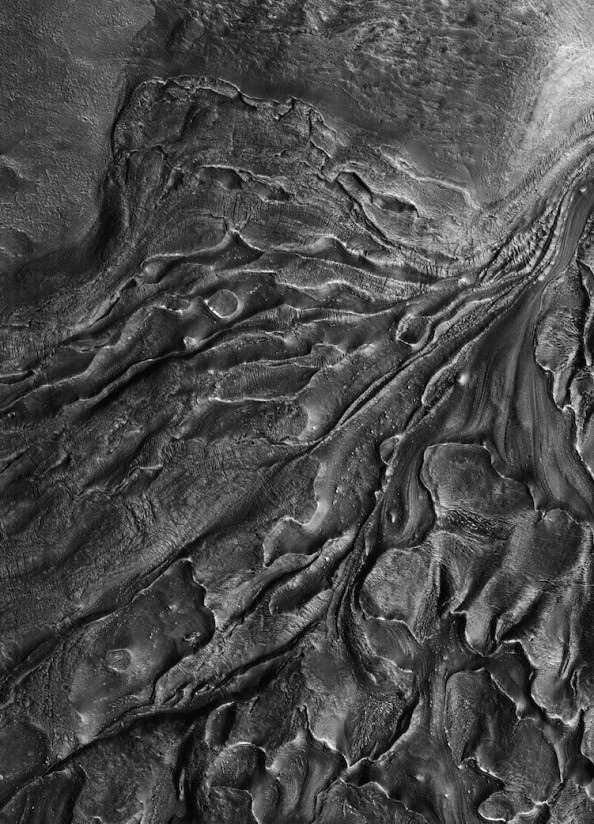
Glacier Flow
This glacier flows from the lower-left part of the image, with fractures or crevasses forming in perpendicular directions.
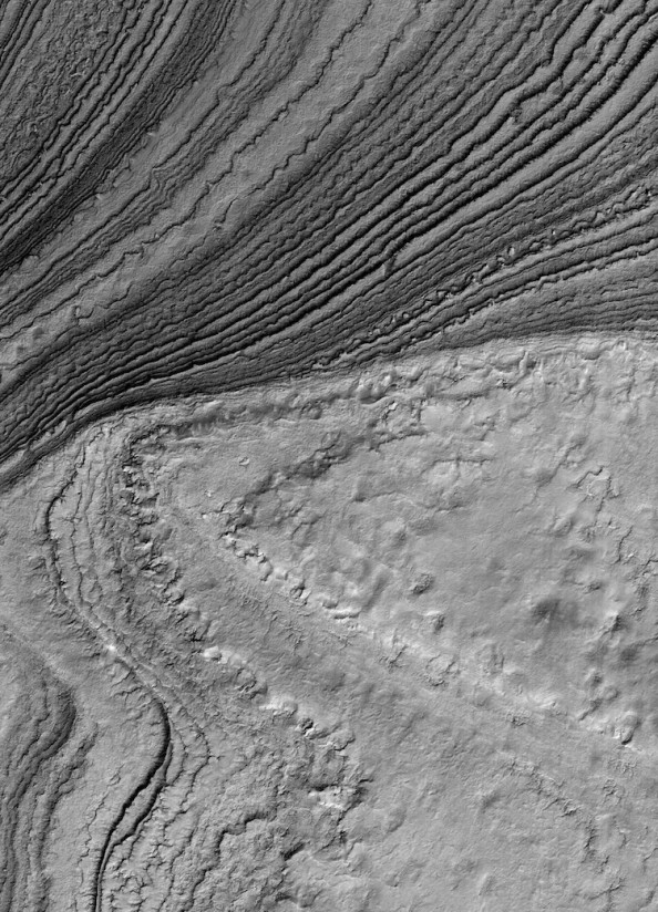
Sedimentary Strata
The dark patches are fractures in carbonic ice due to the formation of geysers beneath the ice.
Field of Dunes
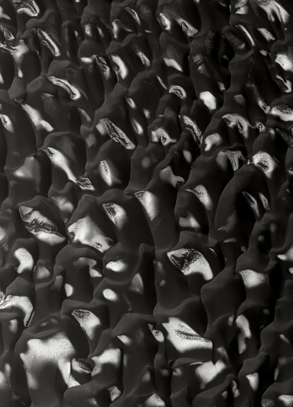
Black sand dunes on the floor of the Proctor Crater.
Barkhanes – Sweeping Sand Dunes
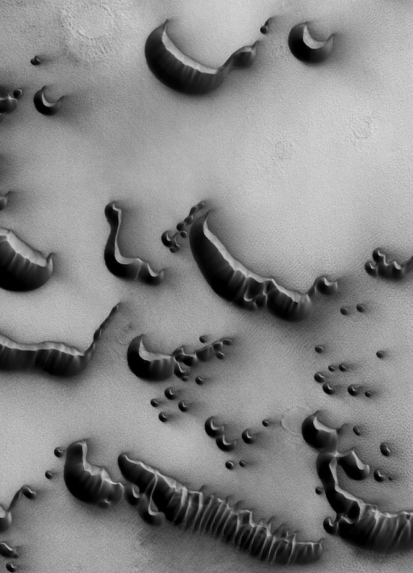
Sweeping sand dunes around the North Pole of Mars, that are broken up and re-shaped when the strong winds do their thing.
Volcano Canyons
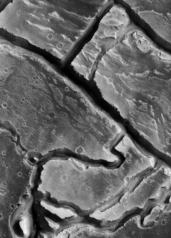
Due to muddy flows from volcanoes, this labyrinth of canyons was created on the surface of Mars.
Polar South
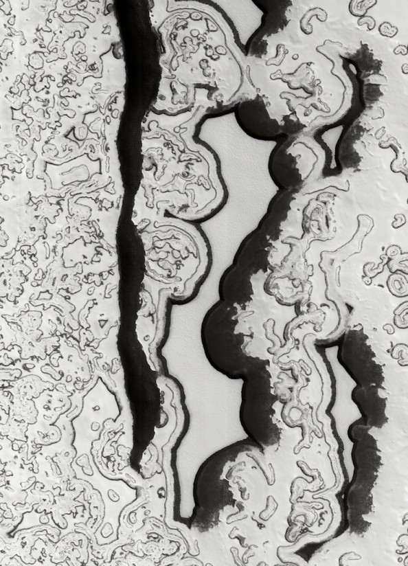
Erosion of carbonic ice in the polar south has resulted in these small cliffs that resemble arabesques.
These images, and many more, have been compiled by editor Xavier Barral in the upcoming book This is Mars.
For some more information on the Red Planet, check out this interesting bit about growing vegetables on Mars.

