We’re fans of great photography here at Walyou, either on the ground or much higher up: 425 miles above in the case of GeoEye.
The Daily Mail has once again provided the story. GeoEye provides data for Google Earth and Google Maps from their satellite, the GeoEye 1, orbiting the Earth at 17,000 miles per hour. The satellite captures 270,000 square miles of territory each day. The photos have been released by the company to celebrate Earth Day.
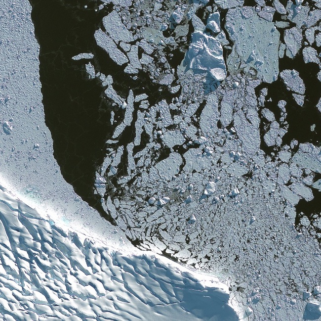
The imagery provided by the satellite is impressive. Here’s a picture of Adelaide Island in Antarctica:
The satellite is so sensitive it can capture objects the size of beer barrels.
Here’s another picture of Botany Bay in Australia. It’s amazing that you can still pick out all these details even though the satellite is so high up above the Earth.

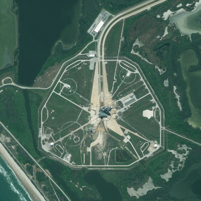
Another picture shows the space shuttle Endeavour on the launch pad at Cape Canaveral, waiting to begin its final mission to the International Space Station.
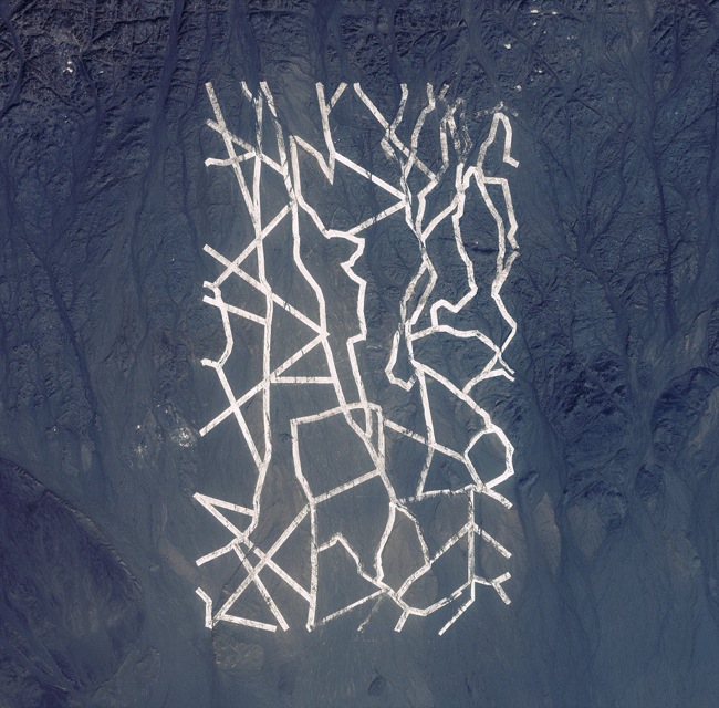
The strange pattern below may look like it was made by aliens, but it’s actually intended to calibrate satellites like the one taking these pictures. It’s located in Xinjiang, China.
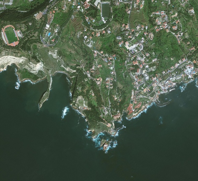
Here’s a view Naples, Italy:
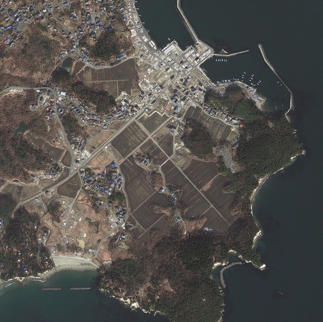
And another of Sendai, Japan:
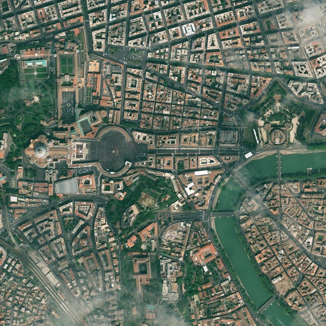
Finally, here’s Vatican City, the most important site for Roman Catholics.
If you like this, you might want to check out our post on NASA’s high-resolution images of the Earth. If you’re tired of life on the Pale Blue Dot, then you might want to read our list of the 10 most liveable planets.


